
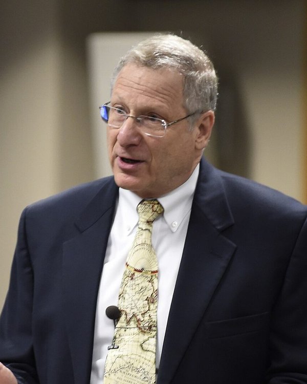
Photo: Office of Naval Research from Arlington, United States, Public domain, Wikimedia Commons
Larry Mayer
Center for Coastal and Ocean Mapping, University of New Hampshire
- Research field
- Ocean mapping, multibeam sonar, and the geology of the seafloor
Larry Mayer directs the Center for Coastal and Ocean Mapping at the University of New Hampshire, where the training programme of the General Bathymetric Chart of the Oceans (GEBCO) educates hydrographers from around the world. In 2018 he and Martin Jakobsson of Stockholm University, with seven colleagues, published the founding paper of the Nippon Foundation-GEBCO Seabed 2030 Project, which showed that about 82 per cent of the cells of the 2014 global bathymetric grid contained no measured depth, set the depth-dependent resolution at which the ocean floor should be mapped, and estimated the hundreds of ship-years the task needs. The unit uses the paper's numbers for the state of seafloor mapping and its reasoning about swath width and resolution.
In the masterclass
Section 5, after the text on multibeam sonar and satellite altimetry, presents his group's plan to map the whole ocean floor and how far it has got.
The research is presented in Unit 2: Ocean Basins and the Seafloor, in a research spotlight box that explains the result at the level of the unit and links it to what you have just learned.